The listed functions allow FMS to be used for
- Navigation in horizontal plane
- Navigation in vertical plane
- 4-d navigation
- Navigation, based on maximum usefulness
- Future air navigation system
Lateral navigation provides navigation in two dimensions
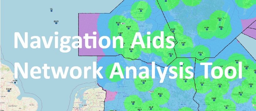
Historically LNAV is the first kind of navigation. LNAV is based on usage of radilo-beacon navigation systems (VOR, DME, NDB) of zonal (LORAN-C) , satellite (GPS, GLONASS) and inertial navigation.
Vertical Navigation – VNAV
Provides navigation in three dimensions. Makes it possible to control the aircraft in horizontal plane. From now on the implication of VNV FMS solely relies on results of measurement of altitude of flight by barometric altimeter. The satellite based navigation systems do not provide the required precision in coordinate determination in vertical plane because of significant impact of satteltie situation geometry, but implication of differential functional addons (DGPS) such as WAAS and LAAS will provide a better precision of position location
Four-Dimensional Navigation – FDN
Is navigation in horizontal and vertical planes including the using such parameter as time. In the modern, loaded wirth traffic airspace the time parameter is of big significance. Relative to this FMS must estimate the time of flight over given route points. This information is very important for pilot and ATC for operating in overloaded air routes and it is important for providing safety of airflow.
Full Performance Based Navigation – FPBN
The precise mathematic model of every aircraft is kept in FMS memory of every FMS-equipped aircraft. By means of usage of flight plan stored in database and mathematical modelling , FMS cam estimate the main parameters of flight with very high precision. The received parameters are used for optimization of flight path trajectory and therefore for increasing efficiency of fuel and resources consumption.
Future Air Navigation System – FANS
Provides the abaility of application of perspective air navigation equipment with accordance with FANS for choosing the optimal flight path trajectory.